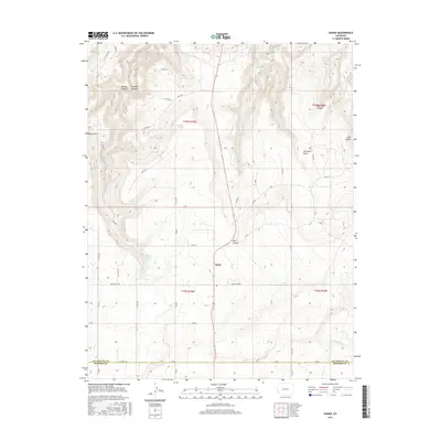
2016 Map of Egnar
USGS Topo · Published 2016About this map
Egnar serves as the central community in this 2016 survey, situated on the high plateau of Southwestern Colorado near the border of San Miguel Co and Dolores Co. The landscape is defined by deep incisions through the mesa, notably Bishop Canyon and Bush Canyon, which carve through the high-desert terrain. Critical water sources in this arid environment, such as Overall Spring and Bishop Canyon Spring, are clearly marked alongside named landmarks like Bishop Point and the curiously named The Spud Patch. The map reveals a systematic network of county roads, including Monticello Rd and Co Rd 7N, which connect isolated homesteads and ranching areas. Tracing these routes alongside drainages like Chico Cr and Bell Cr provides a clear view of how topography has dictated the development of transportation and settlement in the Paradox Basin region.
Find a feature on this map
47 named features on this map. Tap any name to fly to it.
Don’t see what you’re looking for? This feature index may not catch every label — zoom into the map to look around manually.
Map Details
Editions of this 2016 Egnar Map
This is the sole edition of this map. No revisions or reprints were ever made.
Other maps of this area
1885 · La Sal
USGS Topo · 1:250,000
1886 · Abajo
USGS Topo · 1:250,000
1892 · Abajo
USGS Topo · 1:250,000
1893 · Abajo
USGS Topo · 1:250,000
1916 · Paradox Valley
USGS Topo · 1:125,000
1922 · Paradox Valley
USGS Topo · 1:125,000
1948 · Horse Range Mesa
USGS Topo · 1:24,000
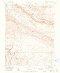
1948 · Hamm Canyon
USGS Topo · 1:24,000
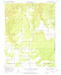
1949 · Egnar
USGS Topo · 1:24,000
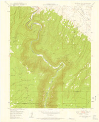
1949 · Joe Davis Hill
USGS Topo · 1:24,000