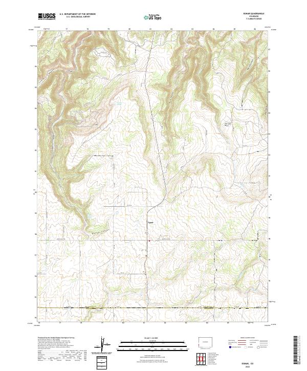
2022 Map of Egnar
USGS Topo · Published 2022About this map
Egnar serves as the central hub of this high-plateau landscape near the southern border of San Miguel County in Colorado. The map reveals a high-elevation agricultural and ranching area defined by deep, winding drainages such as Summit Canyon, Bush Canyon, and Morrison Canyon that carve into the surrounding mesas. The local economy and land use are clearly tied to water sources like Overall Spring and Bishop Canyon Spring, while the unusual name of The Spud Patch points to the region's historical agricultural endeavors. The rugged topography is navigated by a network of county roads, including Monticello Rd and Co Rd XX, which track the high ground between the canyons near the Dolores County line.
Find a feature on this map
48 named features on this map. Tap any name to fly to it.
Don’t see what you’re looking for? This feature index may not catch every label — zoom into the map to look around manually.
Map Details
Editions of this 2022 Egnar Map
This is the sole edition of this map. No revisions or reprints were ever made.
Other maps of this area

1885 · La Sal
USGS Topo · 1:250,000

1886 · Abajo
USGS Topo · 1:250,000

1892 · Abajo
USGS Topo · 1:250,000

1893 · Abajo
USGS Topo · 1:250,000

1916 · Paradox Valley
USGS Topo · 1:125,000

1922 · Paradox Valley
USGS Topo · 1:125,000

1948 · Horse Range Mesa
USGS Topo · 1:24,000

1948 · Hamm Canyon
USGS Topo · 1:24,000

1949 · Egnar
USGS Topo · 1:24,000

1949 · Joe Davis Hill
USGS Topo · 1:24,000