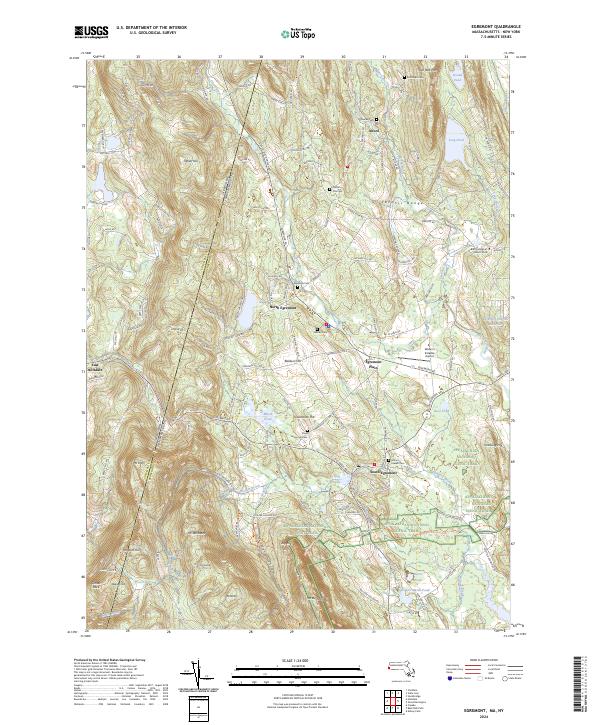
2024 Map of Egremont
USGS Topo · Published 2024About this map
The Taconic Range defines the border between New York and Massachusetts in this detailed survey of the western Berkshires. Along the eastern slopes, the Appalachian National Scenic Trail winds through the highlands past peaks like Mt Bushnell and Jug End. This area is characterized by a mix of high-elevation conservation land and historic valley settlements like South Egremont, where the landscape transitions from the steep terrain of Mt Whitbeck to the open flats near Walter J Koladza Airport.
Find a feature on this map
71 named features on this map. Tap any name to fly to it.
Don’t see what you’re looking for? This feature index may not catch every label — zoom into the map to look around manually.
Map Details
Editions of this 2024 Egremont Map
This is the sole edition of this map. No revisions or reprints were ever made.
Other maps of this area

1885 · Sheffield
USGS Topo · 1:62,500

1888 · Sheffield
USGS Topo · 1:62,500

1888 · Pittsfield
USGS Topo · 1:62,500

1890 · Pittsfield
USGS Topo · 1:62,500

1891 · Sheffield
USGS Topo · 1:62,500

1893 · Sheffield
USGS Topo · 1:62,500

1893 · Pittsfield
USGS Topo · 1:62,500

1894 · Pittsfield
USGS Topo · 1:62,500

1897 · Pittsfield
USGS Topo · 1:62,500

1897 · Sheffield
USGS Topo · 1:62,500