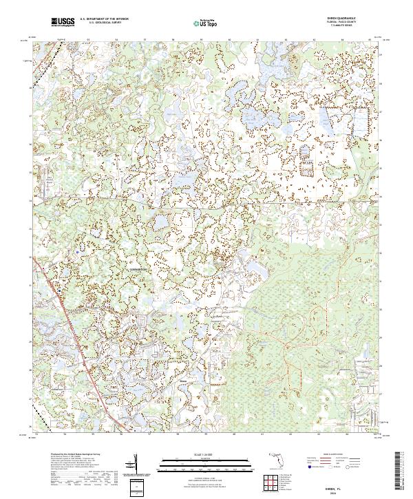
2024 Map of Ehren
USGS Topo · Published 2024About this map
The settlement of Ehren and the planned development of Connerton highlight the evolving landscape of central Pasco County in the early 2020s. This region is defined by an intricate network of freshwater bodies, including Big Fish Lake, Goose Lake, and the expansive Big Cypress Swamp. The landscape is a mosaic of emerging residential corridors and natural hydrology, where the headwaters of Cypress Creek and Fivemile Creek wind through the terrain.
Find a feature on this map
115 named features on this map. Tap any name to fly to it.
Don’t see what you’re looking for? This feature index may not catch every label — zoom into the map to look around manually.
Map Details
Editions of this 2024 Ehren Map
This is the sole edition of this map. No revisions or reprints were ever made.
Other maps of this area

1943 · Odessa
USGS Topo · 1:24,000

1943 · Lutz
USGS Topo · 1:24,000

1944 · Wesley Chapel
USGS Topo · 1:31,680

1944 · Lutz
USGS Topo · 1:31,680

1944 · Odessa
USGS Topo · 1:31,680

1949 · Odessa
USGS Topo · 1:25,000

1954 · Spring Lake
USGS Topo · 1:24,000

1954 · Ehren
USGS Topo · 1:24,000

1954 · San Antonio
USGS Topo · 1:24,000

1954 · Fivay
USGS Topo · 1:24,000