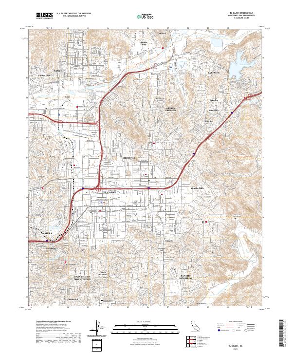
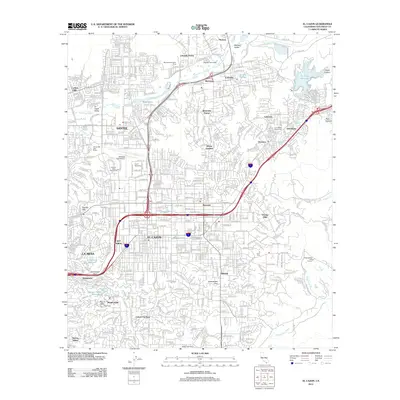
2021 Map of El Cajon
USGS Topo · Published 2021About this map
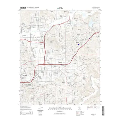
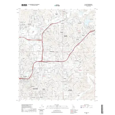
Bostonia and the suburban reaches of El Cajon are detailed in this modern survey, showing a landscape defined by residential expansion across the El Cajon Valley. The map highlights important civic and institutional centers, including the San Diego County Superior Court East County Regional Center and San Diego Christian College. Historic transportation routes are marked by the Stagecoach Trl and Pony Express Tr near Lakeside, juxtaposed against modern infrastructure like Gillespie Field.
Find a feature on this map
52 named features on this map. Tap any name to fly to it.
Don’t see what you’re looking for? This feature index may not catch every label — zoom into the map to look around manually.
Map Details
Editions of this 2021 El Cajon Map
This is the sole edition of this map. No revisions or reprints were ever made.
Historical Maps of El Cajon Through Time
12 maps found
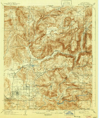
1903 El Cajon
San Diego County, CA
1939 El Cajon
San Diego County, CA

1942 El Cajon
San Diego County, CA
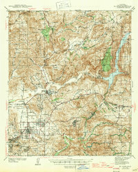
1947 El Cajon
San Diego County, CA
1955 El Cajon
San Diego County, CA
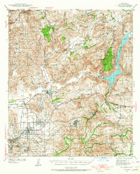
1967 El Cajon
San Diego County, CA

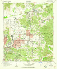
1979 El Cajon
San Diego County, CA
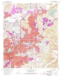
1996 El Cajon
San Diego County, CA
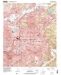
2012 El Cajon
San Diego County, CA
2015 El Cajon
San Diego County, CA
2018 El Cajon
San Diego County, CA
2021 El Cajon
San Diego County, CA