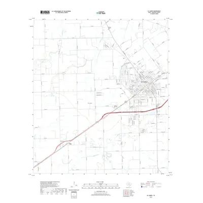
1965 Map of El Campo
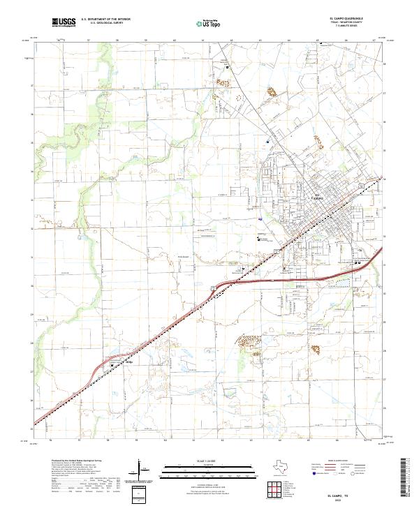
USGS Topo · Published 1983About this map
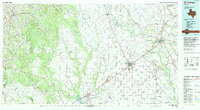
The Southern Pacific rail line cuts diagonally across this landscape, defining the growth of El Campo and Hillje during the mid-1960s. The town of El Campo shows a dense grid of streets including Alvin St, Center St, and Wharton St, centered around essential community anchors like Nightingale Hosp and several local schools. Outside the urban core, the terrain is shaped by the winding paths of West Mustang Creek and East Mustang Creek, which feed into the primary Mustang Creek. This era of the Gulf Coast prairie transition reveals a landscape balancing agriculture with emerging infrastructure, evidenced by the numerous wells and the El Campo Metropolitan Airport. Genealogical interest is particularly high here given the numerous burial grounds, such as Swedish Cem and Lakeview Cem, reflecting the diverse settlement history of Wharton County.
Find a feature on this map
57 named features on this map. Tap any name to fly to it.
Don’t see what you’re looking for? This feature index may not catch every label — zoom into the map to look around manually.
Map Details
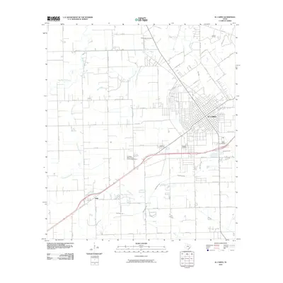
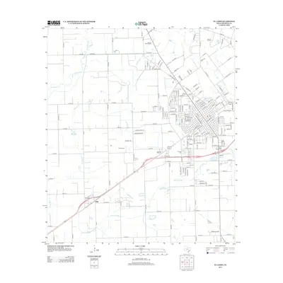
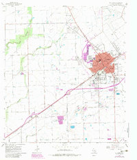
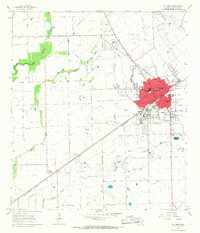
Editions of this 1965 El Campo Map
2 editions found
Historical Maps of El Campo Through Time
7 maps found