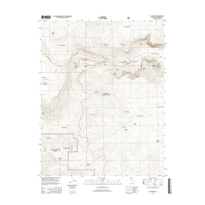
2015 Map of El Capitan
USGS Topo · Published 2015About this map
El Capitan stands as the sentinel of the granite corridor where the Merced River cuts through the Sierra Nevada landscape. This modern survey details the primary gateway to Yosemite Valley, documenting the vertical landmarks and glacial features that define the region. Notable topographic features include the sheer face of Cathedral Rocks, the narrow Gunsight, and the iconic Cathedral Spires. The map reveals the intricate network of water, from the high Ribbon Fall and Bridalveil Fall to the drainages of Grouse Cr and Cascade Cr. To the south, the settlement at Yosemite West sits near Henness Ridge, while the northern reaches include the community of Foresta. Infrastructure such as the Wawona Tunnel, Pohono Bridge, and the historic route of Old Coulterville show the modern access points to this preserved wilderness within Yosemite National Park.
Find a feature on this map
80 named features on this map. Tap any name to fly to it.
Don’t see what you’re looking for? This feature index may not catch every label — zoom into the map to look around manually.
Map Details
Editions of this 2015 El Capitan Map
This is the sole edition of this map. No revisions or reprints were ever made.
Other maps of this area
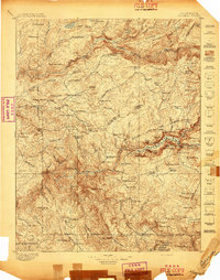
1897 · Yosemite
USGS Topo · 1:125,000
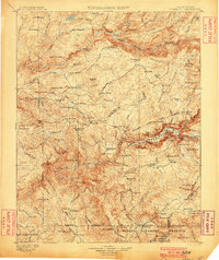
1900 · Yosemite
USGS Topo · 1:125,000
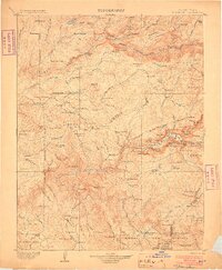
1903 · Yosemite
USGS Topo · 1:125,000
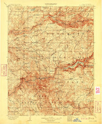
1909 · Yosemite
USGS Topo · 1:125,000
1947 · El Portal
USGS Topo · 1:24,000
1947 · Mariposa
USGS Topo · 1:250,000
1947 · El Portal
USGS Topo · 1:62,500
1947 · Buckingham Mtn
USGS Topo · 1:24,000
1948 · Mariposa
USGS Topo · 1:250,000
1949 · Buckingham Mtn
USGS Topo · 1:24,000