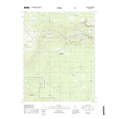
2018 Map of El Capitan
USGS Topo · Published 2018About this map
El Capitan stands as the dominant granite monolith in this 2018 survey of the western Yosemite Valley. The landscape is defined by the steep descent of the Merced River through the Merced Gorge, flanked by world-renowned geological features like the Cathedral Spires, Leaning Tower, and Elephant Rock. Historical transportation routes are deeply etched into the terrain, showing the transition from the Old Big Oak Flat Road and Old Wawona Road to modern infrastructure like the Wawona Tunnel.
Find a feature on this map
82 named features on this map. Tap any name to fly to it.
Don’t see what you’re looking for? This feature index may not catch every label — zoom into the map to look around manually.
Map Details
Editions of this 2018 El Capitan Map
This is the sole edition of this map. No revisions or reprints were ever made.
Other maps of this area
1897 · Yosemite
USGS Topo · 1:125,000
1900 · Yosemite
USGS Topo · 1:125,000
1903 · Yosemite
USGS Topo · 1:125,000
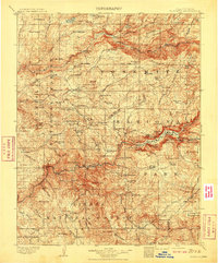
1909 · Yosemite
USGS Topo · 1:125,000
1947 · El Portal
USGS Topo · 1:24,000
1947 · Mariposa
USGS Topo · 1:250,000
1947 · El Portal
USGS Topo · 1:62,500
1947 · Buckingham Mtn
USGS Topo · 1:24,000
1948 · Mariposa
USGS Topo · 1:250,000
1949 · Buckingham Mtn
USGS Topo · 1:24,000