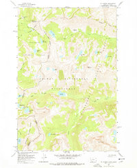
1964 Map of El Capitan
USGS Topo · Published 1978About this map
El Capitan stands as a prominent landmark in this high-altitude landscape along the border of Idaho and Montana. Surveyed in the early 1960s, the terrain is defined by the meeting of the Bitterroot National Forest and Nezperce National Forest. The map documents a network of high-country water bodies, including the Big Grizzly Lake and Little Grizzly Lake cluster, and the remote Lake Capitan situated below its namesake peak.
Find a feature on this map
33 named features on this map. Tap any name to fly to it.
Don’t see what you’re looking for? This feature index may not catch every label — zoom into the map to look around manually.
Map Details
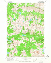
Editions of this 1964 El Capitan Map
2 editions found
Other maps of this area

1901 · Hamilton
USGS Topo · 1:125,000

1911 · Lolo
USGS Topo · 1:250,000

1913 · Lolo
USGS Topo · 1:250,000

1956 · Elk City
USGS Topo · 1:250,000

1956 · Hamilton
USGS Topo · 1:250,000

1959 · Hamilton
USGS Topo · 1:250,000

1960 · Elk City
USGS Topo · 1:250,000

1960 · Hamilton
USGS Topo · 1:250,000

1964 · Hamilton
USGS Topo · 1:250,000

1964 · Tenmile Lake
USGS Topo · 1:24,000