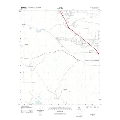
2012 Map of El Casco
USGS Topo · Published 2012About this map
San Timoteo Canyon Rd serves as the primary artery through this rugged portion of Riverside County, connecting the small settlements of El Casco and Hinda. The landscape is dominated by the dramatic topography of The Badlands and Mount Eden, where the natural terrain has dictated the spread of infrastructure. To the south, Eden Hot Springs and the community of Eden reflect the area's historical tie to natural spring resources, while the northern reaches show more modern development with the Garden Air Golf Course and residential streets near Nicklin.
Find a feature on this map
85 named features on this map. Tap any name to fly to it.
Don’t see what you’re looking for? This feature index may not catch every label — zoom into the map to look around manually.
Map Details
Editions of this 2012 El Casco Map
This is the sole edition of this map. No revisions or reprints were ever made.
Other maps of this area

1899 · Redlands
USGS Topo · 1:62,500

1901 · Southern California Sheet No. 1
USGS Topo · 1:250,000

1901 · San Jacinto
USGS Topo · 1:125,000

1901 · Redlands
USGS Topo · 1:62,500

1901 · Elsinore
USGS Topo · 1:125,000

1902 · San Gorgonio
USGS Topo · 1:125,000

1904 · Southern California Sheet No. 1
USGS Topo · 1:250,000

1942 · Banning
USGS Topo · 1:62,500

1942 · Perris
USGS Topo · 1:62,500

1943 · Perris
USGS Topo · 1:62,500