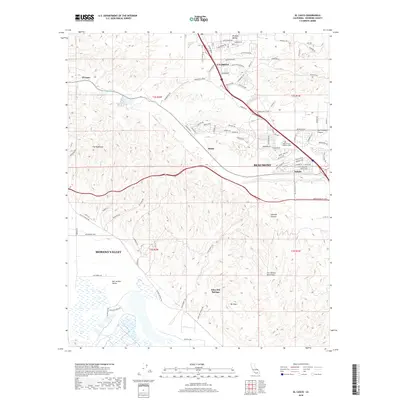
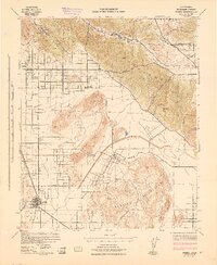
2018 Map of El Casco
USGS Topo · Published 2018About this map
The Badlands and the rising slopes of the San Jacinto Mountains define the complex topography of this Riverside County region. The map reveals a transition from the structured residential expansion near Beaumont and Calimesa to the deeply eroded canyons of the southwest. Local history is anchored at Eden Hot Springs near the foot of Mt Eden, while the northern reaches follow the distinct path of San-Timoteo Canyon toward El Casco. This 2018 survey captures the contemporary footprint of small settlements like Hinda and Nicklin alongside established landmarks such as Desert Lawn Memorial Park. The landscape is a mix of high-desert valleys like Moreno Valley and the smaller Yucaipa Valley, connected by a network of canyon roads and seasonal waterways like Noble Cr.
Find a feature on this map
95 named features on this map. Tap any name to fly to it.
Don’t see what you’re looking for? This feature index may not catch every label — zoom into the map to look around manually.
Map Details
Editions of this 2018 El Casco Map
This is the sole edition of this map. No revisions or reprints were ever made.
Other maps of this area
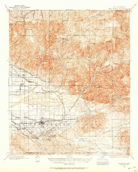
1899 · Redlands
USGS Topo · 1:62,500

1901 · Southern California Sheet No. 1
USGS Topo · 1:250,000
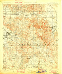
1901 · San Jacinto
USGS Topo · 1:125,000
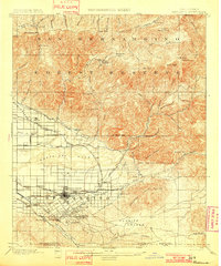
1901 · Redlands
USGS Topo · 1:62,500
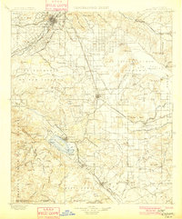
1901 · Elsinore
USGS Topo · 1:125,000
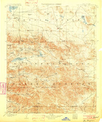
1902 · San Gorgonio
USGS Topo · 1:125,000

1904 · Southern California Sheet No. 1
USGS Topo · 1:250,000
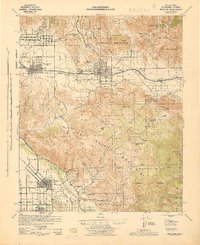
1942 · Banning
USGS Topo · 1:62,500
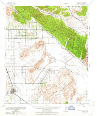
1942 · Perris
USGS Topo · 1:62,500
1943 · Perris
USGS Topo · 1:62,500