1976 Map of El Centro
USGS Topo · Published 1980About this map
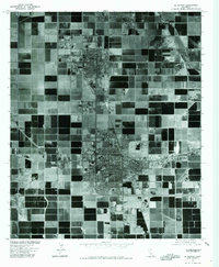
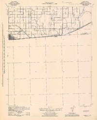
El Centro and Imperial anchor this orthophotoquad, which showcases the geometric agricultural landscape of the Imperial Valley in the mid-1970s. The dense patchwork of fields is defined by an intricate irrigation system, including the Central Main Canal and the Dogwood Canal. This map, produced in cooperation with the Soil Conservation Service, uses aerial photography to reveal the intensive land use required to sustain desert farming. The stark contrast between the structured city grids and the sprawling rectangular agricultural blocks highlights the region's total dependence on man-made water distribution. Researchers can observe the physical footprint of the city centers as they existed just before the turn of the decade, captured through the lens of scanning technology and overhead imagery.
Find a feature on this map
4 named features on this map. Tap any name to fly to it.
Don’t see what you’re looking for? This feature index may not catch every label — zoom into the map to look around manually.
Map Details
Editions of this 1976 El Centro Map
This is the sole edition of this map. No revisions or reprints were ever made.
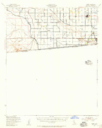
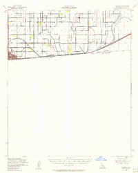
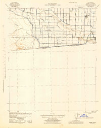
Other maps of this area

1907 · Holtville
USGS Topo · 1:125,000

1915 · El Centro
USGS Topo · 1:125,000

1940 · Brawley
USGS Topo · 1:62,500
1940 · Heber
USGS Topo · 1:62,500

1940 · Alamorio
USGS Topo · 1:62,500
1940 · Calexico
USGS Topo · 1:62,500

1942 · El Centro
USGS Topo · 1:250,000
1943 · Heber
USGS Topo · 1:62,500

1943 · Brawley
USGS Topo · 1:62,500
1943 · Calexico
USGS Topo · 1:62,500