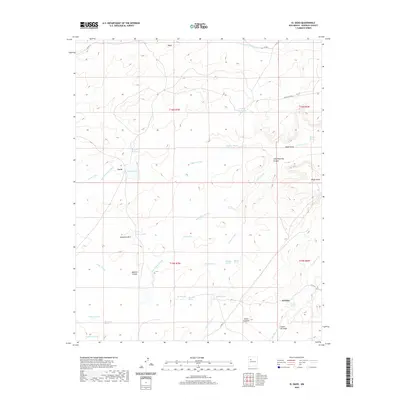
2020 Map of El Dado
USGS Topo · Published 2020About this map
The high desert landscape of McKinley County is defined by a network of ephemeral water sources and distinctive geological formations, including Sombrero Alto and the prominent White Mesa. Settlement is sparse, anchored by the localities of Leon and El Dado, with the latter situated near El Dado Spring. This arid environment necessitated the naming of numerous vital water points such as Coal Mine Spring, Salazar Spring, and Peña Springs, reflecting a reliance on natural groundwater for ranching and survival in the region.
Find a feature on this map
44 named features on this map. Tap any name to fly to it.
Don’t see what you’re looking for? This feature index may not catch every label — zoom into the map to look around manually.
Map Details
Editions of this 2020 El Dado Map
This is the sole edition of this map. No revisions or reprints were ever made.
Other maps of this area

1883 · Mt. Taylor
USGS Topo · 1:250,000

1886 · Mt. Taylor
USGS Topo · 1:250,000

1892 · Mt. Taylor
USGS Topo · 1:250,000

1899 · Mt. Taylor
USGS Topo · 1:250,000

1958 · Albuquerque
USGS Topo · 1:250,000

1961 · El Dado
USGS Topo · 1:24,000

1961 · Piedra De La Aguila
USGS Topo · 1:24,000

1961 · El Dado Mesa
USGS Topo · 1:24,000

1961 · Mesita Del Gavilan
USGS Topo · 1:24,000

1961 · Hospah
USGS Topo · 1:24,000