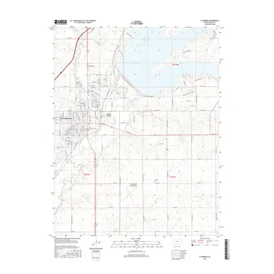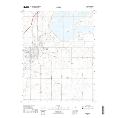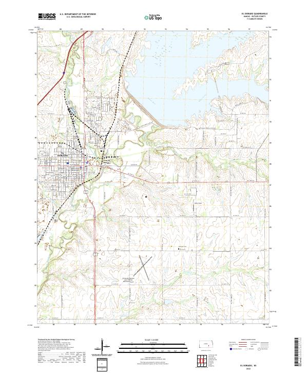
1990 Map of El Dorado
USGS Topo · Published 1990About this map
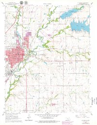
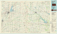
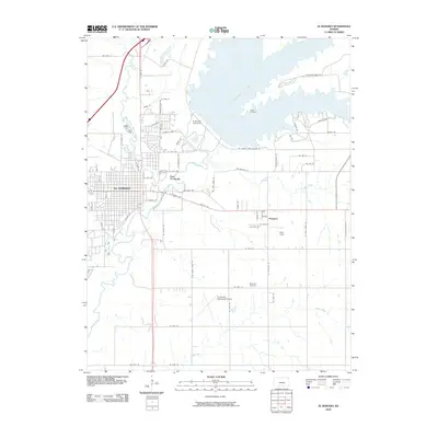
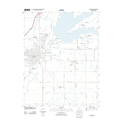
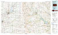
Walnut River and Whitewater River drainage systems define this section of the Flint Hills region, where the prairie landscape is punctuated by significant water management projects. The northern expansion of the Kansas Turnpike cuts through the western half, connecting major hubs like El Dorado and Augusta. Large reservoirs including El Dorado Lake and Fall River Lake provide the backdrop for extensive conservation areas such as the El Dorado State Park and Fall River State Wildlife Area. This mapping shows the rural infrastructure of the 1990s, characterized by a network of small agricultural settlements like Rosalia, Leon, and Severy linked by the At & SF RR and other rail lines. The terrain reveals the subtle elevations of the eastern Kansas uplands, featuring landmarks like Windy Hill and Round Mound amidst a grid of township boundaries including Prospect and Sycamore.
Find a feature on this map
114 named features on this map. Tap any name to fly to it.
Don’t see what you’re looking for? This feature index may not catch every label — zoom into the map to look around manually.
Map Details
Editions of this 1990 El Dorado Map
This is the sole edition of this map. No revisions or reprints were ever made.
Historical Maps of El Dorado Through Time
8 maps found