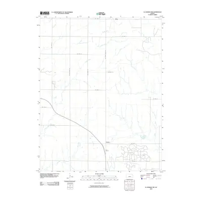
2009 Map of El Dorado NW
USGS Topo · Published 2009About this map
Hopkins serves as a central reference point in this portion of Butler County, where the agricultural landscape is divided by an orderly grid of country roads. To the south of the settlement, Baker Cemetery provides a significant touchstone for genealogical research, while the northern edge of the map reveals the industrial footprint of the Hazlett Oil Field. The terrain is defined by the drainage patterns of Fourmile Creek and Rock Creek, which meander across the plains, influencing the placement of local homesteads and transportation routes like Nw Shumway Rd and Nw Hopkins Switch Rd. This document captures the rural character of the region in the early 21st century, showing how modern infrastructure follows the long-established section lines of the Kansas prairie.
Find a feature on this map
19 named features on this map. Tap any name to fly to it.
Don’t see what you’re looking for? This feature index may not catch every label — zoom into the map to look around manually.
Map Details
Editions of this 2009 El Dorado NW Map
This is the sole edition of this map. No revisions or reprints were ever made.
Other maps of this area

1888 · Eldorado
USGS Topo · 1:125,000

1889 · Newton
USGS Topo · 1:125,000

1889 · Wichita
USGS Topo · 1:125,000

1894 · Wichita
USGS Topo · 1:125,000

1894 · Newton
USGS Topo · 1:125,000

1898 · Cottonwood Falls
USGS Topo · 1:125,000

1955 · Benton
USGS Topo · 1:24,000

1955 · Wichita
USGS Topo · 1:250,000

1955 · Hutchinson
USGS Topo · 1:250,000

1958 · Wichita
USGS Topo · 1:250,000