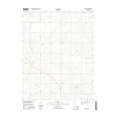
2015 Map of El Dorado NW
USGS Topo · Published 2015About this map
Hopkins serves as a central point of reference in this portion of Butler County, where the rural landscape is defined by the drainage basins of several significant prairie streams. The area is dissected by Fourmile Cr, Diamond Cr, Brush Cr, and Rock Cr, creating a network of riparian corridors through the agricultural land. This survey illustrates a highly structured grid of section lines and county roads, including the notable NW Hopkins Switch Rd and NW Ohio Street Rd, which facilitate movement between regional holdings. Genealogists and local historians will find the Baker Cem located south of the main settlement area, providing a specific point of interest for family research. The map also records the precise township and range divisions, such as t24s r4e, that have organized this territory since the original land surveys.
Find a feature on this map
28 named features on this map. Tap any name to fly to it.
Don’t see what you’re looking for? This feature index may not catch every label — zoom into the map to look around manually.
Map Details
Editions of this 2015 El Dorado NW Map
This is the sole edition of this map. No revisions or reprints were ever made.
Other maps of this area
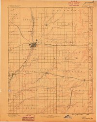
1888 · Eldorado
USGS Topo · 1:125,000
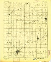
1889 · Newton
USGS Topo · 1:125,000
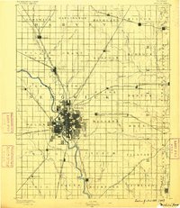
1889 · Wichita
USGS Topo · 1:125,000
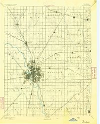
1894 · Wichita
USGS Topo · 1:125,000
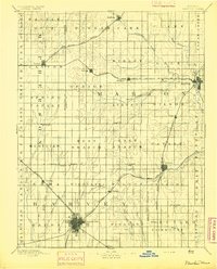
1894 · Newton
USGS Topo · 1:125,000
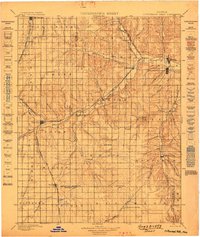
1898 · Cottonwood Falls
USGS Topo · 1:125,000
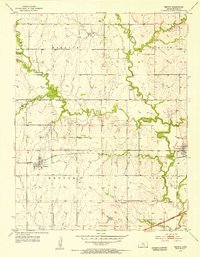
1955 · Benton
USGS Topo · 1:24,000
1955 · Wichita
USGS Topo · 1:250,000
1955 · Hutchinson
USGS Topo · 1:250,000
1958 · Wichita
USGS Topo · 1:250,000