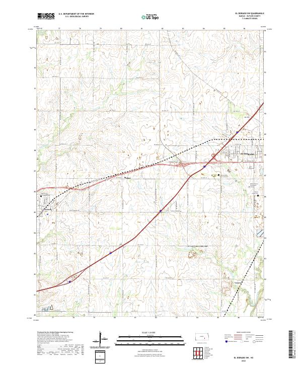
2022 Map of El Dorado SW
USGS Topo · Published 2022About this map
El Dorado and Towanda anchor this portion of Butler County, where the transition from agricultural prairie to suburban expansion is visible in the network of range roads and modern intersections. The Walnut River flows through the southeastern corner, joined by several drainages including Sutton Cr and Constant Cr that carve through the landscape. Smaller settlements like Midian, Oil Hill, and Vanora point to the area's historical development patterns, often linked to the regional energy and agricultural industries.
Find a feature on this map
34 named features on this map. Tap any name to fly to it.
Don’t see what you’re looking for? This feature index may not catch every label — zoom into the map to look around manually.
Map Details
Editions of this 2022 El Dorado SW Map
This is the sole edition of this map. No revisions or reprints were ever made.
Other maps of this area

1888 · Eldorado
USGS Topo · 1:125,000

1889 · Wichita
USGS Topo · 1:125,000

1894 · Wichita
USGS Topo · 1:125,000

1955 · Santa Fe Lake
USGS Topo · 1:24,000

1955 · Benton
USGS Topo · 1:24,000

1955 · Wichita
USGS Topo · 1:250,000

1958 · Wichita
USGS Topo · 1:250,000

1961 · Augusta
USGS Topo · 1:24,000

1961 · De Graff
USGS Topo · 1:24,000

1961 · El Dorado NW
USGS Topo · 1:24,000