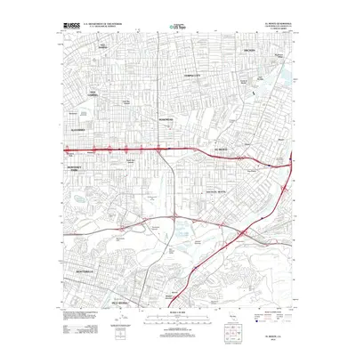
2012 Map of El Monte
USGS Topo · Published 2012About this map
The San Gabriel Valley is defined here by the convergence of the Rio Hondo and San Gabriel River, creating a complex landscape of water management and suburban density. This survey captures a highly developed corridor anchored by El Monte and Rosemead, where the natural flow of mountain runoff is channeled through several major washes, including Rubio Wash, Eaton Wash, and Santa Anita Wash. The significant Whittier Narrows Reservoir and its surrounding flood control lands dominate the southern portion of the sheet, providing a buffer between the residential neighborhoods and the industrial sectors near Pico Rivera.
Find a feature on this map
67 named features on this map. Tap any name to fly to it.
Don’t see what you’re looking for? This feature index may not catch every label — zoom into the map to look around manually.
Map Details
Editions of this 2012 El Monte Map
This is the sole edition of this map. No revisions or reprints were ever made.
Other maps of this area

1894 · Los Angeles
USGS Topo · 1:62,500

1894 · Pomona
USGS Topo · 1:62,500

1896 · Pasadena
USGS Topo · 1:62,500

1896 · Anaheim
USGS Topo · 1:62,500

1896 · Downey
USGS Topo · 1:62,500

1897 · Pomona
USGS Topo · 1:62,500

1898 · Pomona
USGS Topo · 1:62,500

1898 · Anaheim
USGS Topo · 1:62,500

1899 · Downey
USGS Topo · 1:62,500

1900 · Pasadena
USGS Topo · 1:62,500