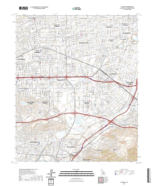
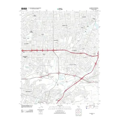
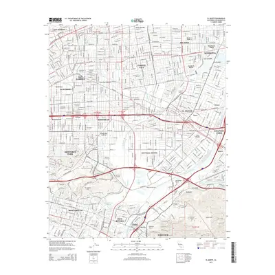
2022 Map of El Monte
USGS Topo · Published 2022About this map
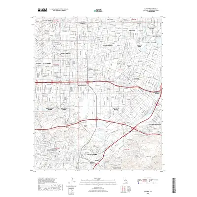
The confluence of the San Gabriel River and the Rio Hondo defines this San Gabriel Valley landscape, creating a corridor of wetlands and water management features like Legg Lake and the Whittier Narrows. This modern survey illustrates a dense urban network where historical burial grounds, such as the San Gabriel Mission Cem and Savannah Memorial Park, are surrounded by contemporary institutional developments. Educational centers including the Pasadena City College Rosemead Campus and Rio Hondo College serve the community alongside the San Gabriel Valley Airport. From the residential streets of Temple City and Rosemead to the heights of the Puente Hills and Montebello Hills, the map shows a landscape thoroughly shaped by its hydrology, with numerous washes like the Eaton Wash and Arcadia Wash channeling water through the valley floor toward the major river systems.
Find a feature on this map
165 named features on this map. Tap any name to fly to it.
Don’t see what you’re looking for? This feature index may not catch every label — zoom into the map to look around manually.
Map Details
Editions of this 2022 El Monte Map
This is the sole edition of this map. No revisions or reprints were ever made.
Historical Maps of El Monte Through Time
9 maps found
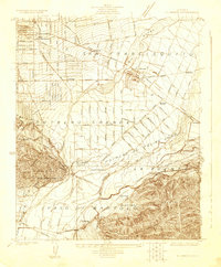
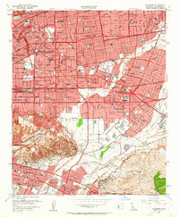
1923 El Monte
Los Angeles County, CA
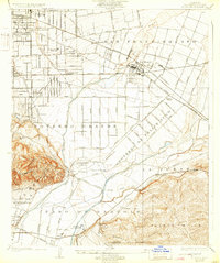
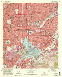
1926 El Monte
Los Angeles County, CA
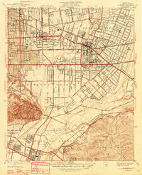
1948 El Monte
Los Angeles County, CA
1953 El Monte
Los Angeles County, CA
1966 El Monte
Los Angeles County, CA
2012 El Monte
Los Angeles County, CA
2015 El Monte
Los Angeles County, CA
2018 El Monte
Los Angeles County, CA
2022 El Monte
Los Angeles County, CA