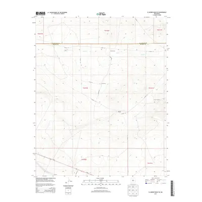
2013 Map of El Morro Ranch SE
USGS Topo · Published 2013About this map
Cardenas lies in the southwestern corner of this survey, marking a primary point of human settlement in a landscape defined by ranching and resource management. The geography is characterized by the winding path of Salado Cr and a critical network of water sources essential for livestock in the high plains. Vital water points such as Hackberry Windmill, Big Tank Windmill, and Spring Windmill are strategically positioned throughout the terrain, connected by a web of local routes including Packhorse Rd and various county roads. This 2013 record illustrates the persistence of traditional land use patterns, where the availability of water at sites like Sand Windmill dictates the rhythm of rural life and movement across the New Mexico landscape.
Find a feature on this map
22 named features on this map. Tap any name to fly to it.
Don’t see what you’re looking for? This feature index may not catch every label — zoom into the map to look around manually.
Map Details
Editions of this 2013 El Morro Ranch SE Map
This is the sole edition of this map. No revisions or reprints were ever made.
Other maps of this area

1954 · Fort Sumner
USGS Topo · 1:250,000

1958 · Fort Sumner
USGS Topo · 1:250,000
1966 · Borica SW
USGS Topo · 1:24,000
1966 · Yeso NW
USGS Topo · 1:24,000
1966 · Borica
USGS Topo · 1:24,000
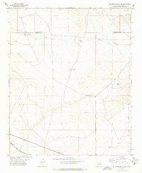
1978 · El Morro Ranch SE
USGS Topo · 1:24,000
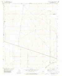
1978 · El Morro Ranch
USGS Topo · 1:24,000
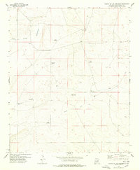
1978 · Laguna De Los Terreros
USGS Topo · 1:24,000
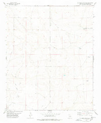
1978 · El Morro Ranch NW
USGS Topo · 1:24,000
1979 · Fort Sumner
USGS Topo · 1:100,000