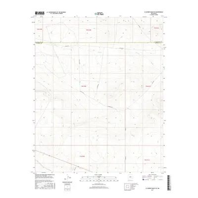
2017 Map of El Morro Ranch SE
USGS Topo · Published 2017About this map
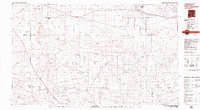
Salado Cr meanders across the northern reaches of this high-plains landscape, crossing the boundary where Guadalupe Co meets De Baca Co. The terrain is defined by its isolation and the intricate web of unpaved ranching and access roads that navigate the varying elevations. These routes, including Lonesome Rd and Packhorse Rd, follow the natural contours of the land, illustrating the persistent agricultural and grazing patterns of central New Mexico. The scarcity of permanent structures reflects the scale of the ranching operations in this region, where water sources like the creek remain the primary focus of human activity. The map provides a clear look at the Public Land Survey System grid, showing township and range lines like t4n r20e which undergird the legal and physical organization of this arid territory.
Find a feature on this map
16 named features on this map. Tap any name to fly to it.
Don’t see what you’re looking for? This feature index may not catch every label — zoom into the map to look around manually.
Map Details
Editions of this 2017 El Morro Ranch SE Map
This is the sole edition of this map. No revisions or reprints were ever made.
Other maps of this area

1954 · Fort Sumner
USGS Topo · 1:250,000

1958 · Fort Sumner
USGS Topo · 1:250,000
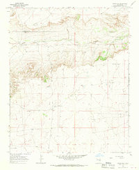
1966 · Borica SW
USGS Topo · 1:24,000
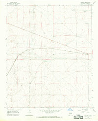
1966 · Yeso NW
USGS Topo · 1:24,000
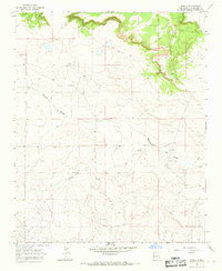
1966 · Borica
USGS Topo · 1:24,000
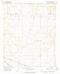
1978 · El Morro Ranch SE
USGS Topo · 1:24,000
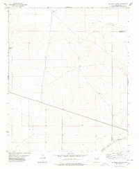
1978 · El Morro Ranch
USGS Topo · 1:24,000
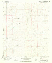
1978 · Laguna De Los Terreros
USGS Topo · 1:24,000
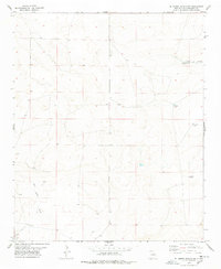
1978 · El Morro Ranch NW
USGS Topo · 1:24,000
1979 · Fort Sumner
USGS Topo · 1:100,000