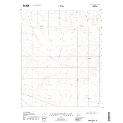
2020 Map of El Morro Ranch SE
USGS Topo · Published 2020About this map
Salado Cr winds through this expanse of high-plains terrain along the southern boundary of Guadalupe County. The landscape is defined by its isolation and the surveyor's grid, with the horizontal line of the Guadalupe Co De Baca Co border cutting directly across the northern section. This 2020 map documents a remote cattle-ranching environment where access is limited to a sparse network of unpaved tracks. Significant local routes including Lonesome Rd, Packhorse Rd, and Diamondback Rd provide the primary means of navigating the undulating contours and intermittent drainages. The absence of established towns or named settlements underscores the character of this ranchland at the start of the 2020s, offering a detailed view of the modern rural infrastructure and land management divisions within this section of the Pecos River basin drainage area.
Find a feature on this map
16 named features on this map. Tap any name to fly to it.
Don’t see what you’re looking for? This feature index may not catch every label — zoom into the map to look around manually.
Map Details
Editions of this 2020 El Morro Ranch SE Map
This is the sole edition of this map. No revisions or reprints were ever made.
Other maps of this area

1954 · Fort Sumner
USGS Topo · 1:250,000

1958 · Fort Sumner
USGS Topo · 1:250,000

1966 · Borica SW
USGS Topo · 1:24,000

1966 · Yeso NW
USGS Topo · 1:24,000

1966 · Borica
USGS Topo · 1:24,000

1978 · El Morro Ranch SE
USGS Topo · 1:24,000

1978 · El Morro Ranch
USGS Topo · 1:24,000

1978 · Laguna De Los Terreros
USGS Topo · 1:24,000

1978 · El Morro Ranch NW
USGS Topo · 1:24,000

1979 · Fort Sumner
USGS Topo · 1:100,000