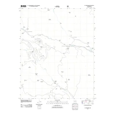
2011 Map of El Porvenir
USGS Topo · Published 2011About this map
Hermit Peak and El Cielo Mountain tower over this corner of the Sangre de Cristo foothills, where the settlement of El Porvenir sits at the confluence of Beaver Creek and Gallinas Creek. The landscape is a network of canyons and mesas, defined by the drainage of Tecolote Creek and Cabo Lucero Creek. Human activity is centered around recreation and ranching, evidenced by the numerous campgrounds like EV Long Campground and the Western Life Camp.
Find a feature on this map
52 named features on this map. Tap any name to fly to it.
Don’t see what you’re looking for? This feature index may not catch every label — zoom into the map to look around manually.
Map Details
Editions of this 2011 El Porvenir Map
This is the sole edition of this map. No revisions or reprints were ever made.
Other maps of this area

1889 · Las Vegas
USGS Topo · 1:125,000

1889 · Santa Fe
USGS Topo · 1:125,000

1891 · Las Vegas
USGS Topo · 1:125,000

1893 · Las Vegas
USGS Topo · 1:125,000

1894 · Santa Fe
USGS Topo · 1:125,000

1954 · Santa Fe
USGS Topo · 1:250,000

1958 · Santa Fe
USGS Topo · 1:250,000

1961 · San Geronimo
USGS Topo · 1:24,000

1961 · El Porvenir
USGS Topo · 1:24,000

1961 · Montezuma
USGS Topo · 1:24,000