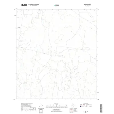
2019 Map of El Sauz
USGS Topo · Published 2019About this map
El Sauz sits as a primary point of reference in this ranching landscape of South Texas, where the terrain is defined by the winding course of Los Olmos Cr. This modern survey illustrates the sparse but critical network of local roads that connect the dispersed ranch lands, such as Oveja Ranch Rd and Barrientos. The geography here is marked by gentle elevation changes and seasonal drainage patterns typical of the region north of the Rio Grande. Notable thoroughfares like Ranch Rd 649 and Old El Sauz Rd provide a clear view of how these remote Texas communities maintain connectivity across the brush country, while La Morita Rd branches off toward more localized rural estates.
Find a feature on this map
9 named features on this map. Tap any name to fly to it.
Don’t see what you’re looking for? This feature index may not catch every label — zoom into the map to look around manually.
Map Details
Editions of this 2019 El Sauz Map
This is the sole edition of this map. No revisions or reprints were ever made.
Other maps of this area
1938 · El Sauz
USGS Topo · 1:62,500
1938 · Sal Colorada
USGS Topo · 1:62,500
1949 · Mc Allen
USGS Topo · 1:250,000
1954 · McAllen
USGS Topo · 1:250,000
1956 · Garcias
USGS Topo · 1:62,500
1956 · Escobares
USGS Topo · 1:62,500
1957 · Mc Allen
USGS Topo · 1:250,000
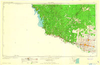
1962 · McAllen
USGS Topo · 1:250,000
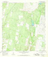
1965 · Sagunada Ranch
USGS Topo · 1:24,000
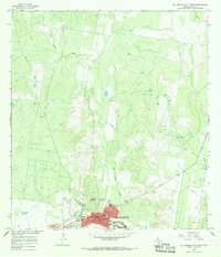
1965 · Rio Grande City North
USGS Topo · 1:24,000