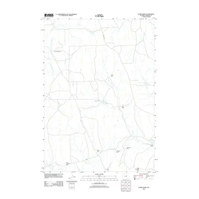
2012 Map of Elaine Draw
USGS Topo · Published 2012About this map
The historical Bozeman Trl cuts north-south through this high plains landscape, marking a legacy of frontier travel and conflict. In this portion of Johnson County, the terrain is defined by a dense network of intermittent drainage patterns, including Elaine Draw, Smith Draw, and Ross Draw. These features, along with Dry Creek Basin and the winding course of Ninemile Cr, illustrate the complex topography that ranchers and early travelers negotiated.
Find a feature on this map
19 named features on this map. Tap any name to fly to it.
Don’t see what you’re looking for? This feature index may not catch every label — zoom into the map to look around manually.
Map Details
Editions of this 2012 Elaine Draw Map
This is the sole edition of this map. No revisions or reprints were ever made.
Other maps of this area

1900 · Fort McKinney
USGS Topo · 1:125,000

1903 · Fort McKinney
USGS Topo · 1:125,000

1955 · Sheridan
USGS Topo · 1:250,000

1955 · Arminto
USGS Topo · 1:250,000

1958 · Sheridan
USGS Topo · 1:250,000

1958 · Arminto
USGS Topo · 1:250,000

1961 · Soldier Creek
USGS Topo · 1:24,000

1961 · Fourmile Reservoir
USGS Topo · 1:24,000

1961 · Dry Creek Reservoir
USGS Topo · 1:24,000

1961 · Antelope Draw
USGS Topo · 1:24,000