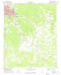
1973 Map of Elberton East
USGS Topo · Published 1975About this map
Elberton serves as the industrial and civic anchor on the western edge of this 1970s survey, defined by its numerous granite Quarry sites and the Seaboard Coast Line railroad. The textile heritage of the area is evident at Silk Mills, while the eastern landscape transitions into a network of rural hamlets and agricultural lands. Small communities such as Middleton and Fortsonia are centered around their respective country churches, including Flatwoods Ch and St Pauls Ch. The terrain is deeply etched by the drainage basins of Beaverdam Creek and Falling Creek, which dictate the placement of early schools like the Falling Creek Sch. Local recreation and infrastructure of the era are well-represented by the Elberton Country Club, the County Airport, and a Drive-in Theater situated along the highway east of the city core.
Find a feature on this map
36 named features on this map. Tap any name to fly to it.
Don’t see what you’re looking for? This feature index may not catch every label — zoom into the map to look around manually.
Map Details
Editions of this 1973 Elberton East Map
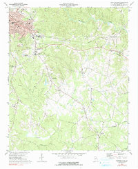
2 editions found
Other maps of this area

1893 · Elberton
USGS Topo · 1:125,000

1906 · Crawfordville
USGS Topo · 1:125,000

1953 · Athens
USGS Topo · 1:250,000

1954 · Greenville
USGS Topo · 1:250,000

1955 · Broad
USGS Topo · 1:24,000

1958 · Greenville
USGS Topo · 1:250,000

1958 · Athens
USGS Topo · 1:250,000

1958 · Elberton
USGS Topo · 1:62,500

1959 · Athens
USGS Topo · 1:250,000

1963 · Athens
USGS Topo · 1:250,000