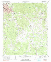
1973 Map of Elberton East
USGS Topo · Published 1991About this map
The industrial and civic expansion of eastern Elbert County is evident in this 1970s-era survey, where the granite industry's footprint is marked by numerous Quarry sites. The landscape transition from the urban core of Elberton to rural outposts is defined by the Seaboard Coast Line railroad, which passes through the community of Silk Mills and moves east toward Middleton. Local social and educational life centers on landmarks like the County Fairgrounds, the Blackwell Sch, and several rural sanctuaries including Martin Grove Ch and St Pauls Ch.
Find a feature on this map
38 named features on this map. Tap any name to fly to it.
Don’t see what you’re looking for? This feature index may not catch every label — zoom into the map to look around manually.
Map Details
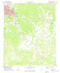
Editions of this 1973 Elberton East Map
2 editions found
Other maps of this area

1893 · Elberton
USGS Topo · 1:125,000

1906 · Crawfordville
USGS Topo · 1:125,000

1953 · Athens
USGS Topo · 1:250,000

1954 · Greenville
USGS Topo · 1:250,000

1955 · Broad
USGS Topo · 1:24,000

1958 · Greenville
USGS Topo · 1:250,000

1958 · Athens
USGS Topo · 1:250,000

1958 · Elberton
USGS Topo · 1:62,500

1959 · Athens
USGS Topo · 1:250,000

1963 · Athens
USGS Topo · 1:250,000