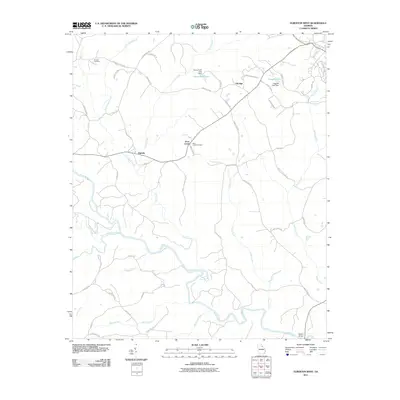
2011 Map of Elberton West
USGS Topo · Published 2011About this map
Broad River and its numerous tributaries, including South Fork Broad River and Fork Creek, define the landscape of this region west of Elberton. The terrain is characterized by a dense network of watercourses and rural roads that connect small settlements and community landmarks. In the northern reaches, industrial and agricultural land use is evidenced by Rome Kraft Lake and its associated Rome Kraft Lake Dam, as well as Coggins Lake. Local history and genealogy interests are centered around the established communities of Oglesby and Ethridge. The presence of long-standing sites like Antioch Cemetery and Dove Creek Cemetery highlights the deep-rooted settlement patterns of Elbert County. The southern portion of the map is dominated by the confluence of Millstone Creek and the river, near the crossing at Mattox Bridge.
Find a feature on this map
52 named features on this map. Tap any name to fly to it.
Don’t see what you’re looking for? This feature index may not catch every label — zoom into the map to look around manually.
Map Details
Editions of this 2011 Elberton West Map
This is the sole edition of this map. No revisions or reprints were ever made.
Other maps of this area

1891 · Carnesville
USGS Topo · 1:125,000

1893 · Elberton
USGS Topo · 1:125,000

1906 · Crawfordville
USGS Topo · 1:125,000

1953 · Athens
USGS Topo · 1:250,000

1954 · Greenville
USGS Topo · 1:250,000

1958 · Greenville
USGS Topo · 1:250,000

1958 · Athens
USGS Topo · 1:250,000

1958 · Danielsville
USGS Topo · 1:62,500

1958 · Elberton
USGS Topo · 1:62,500

1959 · Athens
USGS Topo · 1:250,000