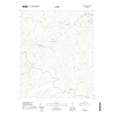
2020 Map of Elberton West
USGS Topo · Published 2020About this map
Elberton and the surrounding rural communities of Ethridge, Dove Creek, and Oglesby anchor this landscape along the western edge of Elbert County. The terrain is defined by the convergence of the Broad River and the South Fork Broad River, where county lines meet at the water’s edge. This modern topographical record shows the winding courses of numerous tributaries, including Little Dove Cr, Falling Cr, and Millstone Cr, which have long shaped the local topography and settlement patterns.
Find a feature on this map
69 named features on this map. Tap any name to fly to it.
Don’t see what you’re looking for? This feature index may not catch every label — zoom into the map to look around manually.
Map Details
Editions of this 2020 Elberton West Map
This is the sole edition of this map. No revisions or reprints were ever made.
Other maps of this area

1891 · Carnesville
USGS Topo · 1:125,000

1893 · Elberton
USGS Topo · 1:125,000

1906 · Crawfordville
USGS Topo · 1:125,000

1953 · Athens
USGS Topo · 1:250,000

1954 · Greenville
USGS Topo · 1:250,000

1958 · Greenville
USGS Topo · 1:250,000

1958 · Athens
USGS Topo · 1:250,000

1958 · Danielsville
USGS Topo · 1:62,500

1958 · Elberton
USGS Topo · 1:62,500

1959 · Athens
USGS Topo · 1:250,000