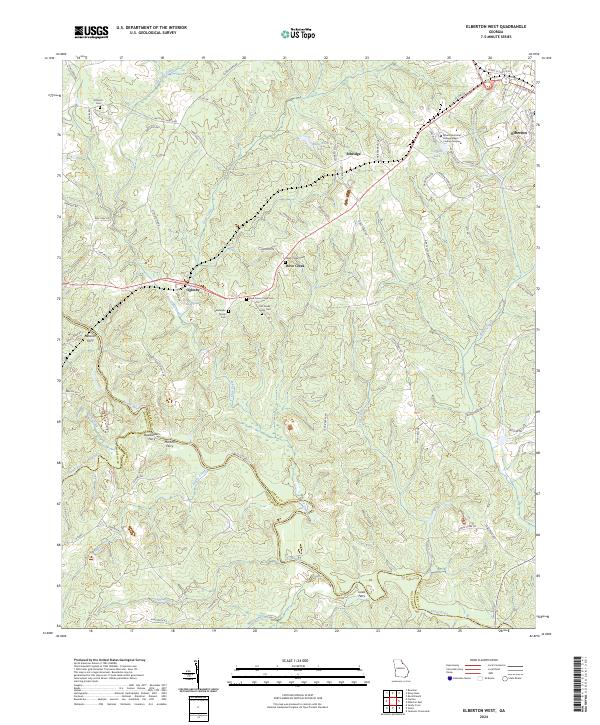
2024 Map of Elberton West
USGS Topo · Published 2024About this map
The Broad River and its numerous tributaries dictate the character of this landscape at the intersection of Elbert, Madison, and Oglethorpe counties. Small settlements like Oglesby, Ethridge, and Dove Creek are connected by a network of rural roads such as Stinchcomb Rd and Antioch Church Rd. The geography is defined by its historical river crossings, with several named ferries including Detwiler Ferry, Deadwylers Ferry, and Martins Ferry marking the points where early travelers crossed the winding waters of the Broad River.
Find a feature on this map
74 named features on this map. Tap any name to fly to it.
Don’t see what you’re looking for? This feature index may not catch every label — zoom into the map to look around manually.
Map Details
Editions of this 2024 Elberton West Map
This is the sole edition of this map. No revisions or reprints were ever made.
Other maps of this area

1891 · Carnesville
USGS Topo · 1:125,000

1893 · Elberton
USGS Topo · 1:125,000

1906 · Crawfordville
USGS Topo · 1:125,000

1953 · Athens
USGS Topo · 1:250,000

1954 · Greenville
USGS Topo · 1:250,000

1958 · Greenville
USGS Topo · 1:250,000

1958 · Athens
USGS Topo · 1:250,000

1958 · Danielsville
USGS Topo · 1:62,500

1958 · Elberton
USGS Topo · 1:62,500

1959 · Athens
USGS Topo · 1:250,000