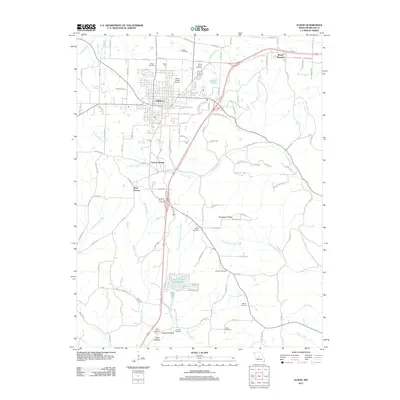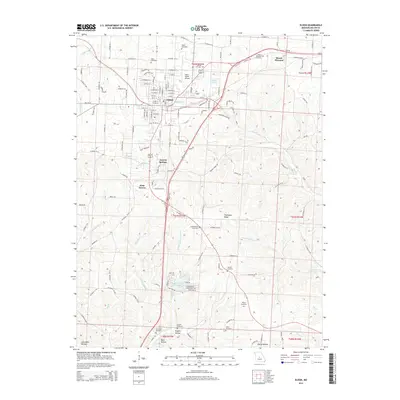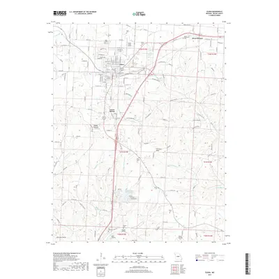
1983 Map of Eldon
USGS Topo · Published 1983About this map
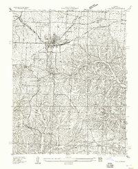
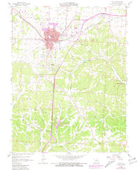
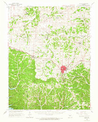
The town of Eldon serves as the central hub of this Miller County survey, showing a landscape defined by its transition from a rail-based economy to a modern transportation corridor. The St Louis Southwestern Railroad cuts through the northern portion of the map, while an Old Railroad Grade and Old Grade elsewhere suggest the realignment of local infrastructure. To the south, the terrain becomes more varied as it descends toward the Saline Creek and Little Saline Creek drainages.
Find a feature on this map
54 named features on this map. Tap any name to fly to it.
Don’t see what you’re looking for? This feature index may not catch every label — zoom into the map to look around manually.
Map Details
Editions of this 1983 Eldon Map
This is the sole edition of this map. No revisions or reprints were ever made.
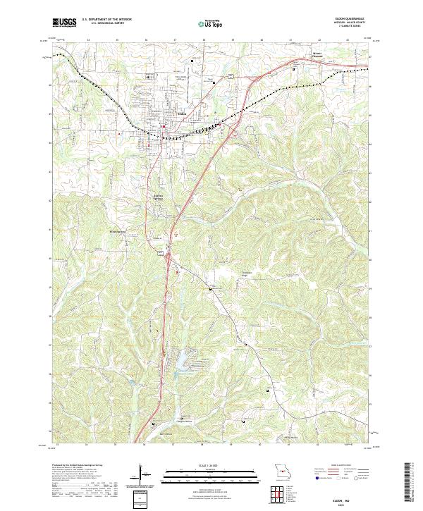
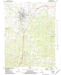
Historical Maps of Eldon Through Time
9 maps found