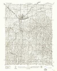
1935 Map of Eldon
USGS Topo · Published 1957About this map
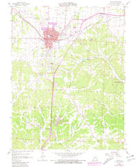
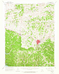
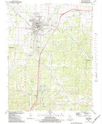
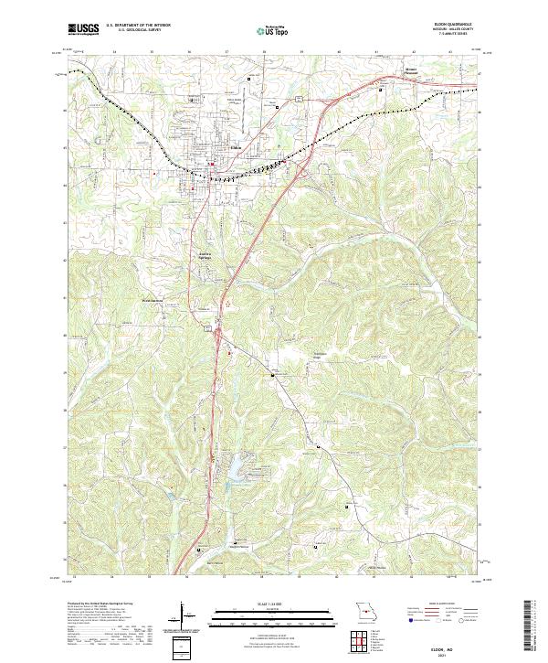
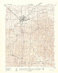
The town of Eldon serves as the central hub of this 1930s landscape, positioned at the junction of the Chicago Rock Island and Pacific RR and major regional thoroughfares like Missouri State Highway No 52. The map details a transition from the structured street grid and rail infrastructure of the town to the more dispersed rural communities of Mt Pleasant and Aurora Springs. The southern portion of the quadrangle is defined by the complex drainages of Little Gravois Creek and Saline Creek, where the terrain becomes significantly more dissected than the relatively level ground surrounding the northern settlements.
Find a feature on this map
26 named features on this map. Tap any name to fly to it.
Don’t see what you’re looking for? This feature index may not catch every label — zoom into the map to look around manually.
Map Details
Editions of this 1935 Eldon Map
2 editions found
Historical Maps of Eldon Through Time
9 maps found