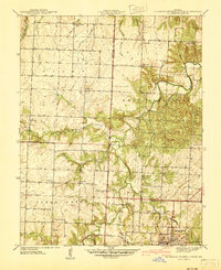
1941 Map of Eldorado Springs North
USGS Topo · Published 1941About this map
The town of Eldorado Springs anchors this 1941 survey, revealing a landscape defined by small rural school districts and family-named landmarks at the intersection of St. Clair, Cedar, and Vernon Counties. The Missouri Kansas Texas railroad line runs through the southern portion of the area, providing a vital connection for the community and its landmarks, including the Court House and Spring Community Bldg.
Find a feature on this map
35 named features on this map. Tap any name to fly to it.
Don’t see what you’re looking for? This feature index may not catch every label — zoom into the map to look around manually.
Map Details
Editions of this 1941 Eldorado Springs North Map
This is the sole edition of this map. No revisions or reprints were ever made.
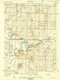
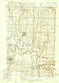
Other maps of this area

1886 · Nevada
USGS Topo · 1:125,000

1886 · Stockton
USGS Topo · 1:125,000

1887 · Clinton
USGS Topo · 1:125,000

1887 · Butler
USGS Topo · 1:125,000

1894 · Butler
USGS Topo · 1:125,000

1894 · Nevada
USGS Topo · 1:125,000

1894 · Clinton
USGS Topo · 1:125,000
1934 · Papinsville
USGS Topo · 1:24,000
1934 · Rockville
USGS Topo · 1:24,000

1937 · Tiffin
USGS Topo · 1:31,680