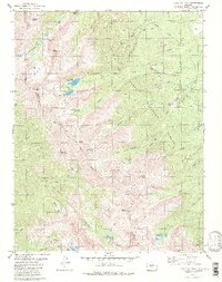
1980 Map of Electric Peak
USGS Topo · Published 1980About this map
The high Sangre de Cristo Mountains define this 1980 survey, where the boundary between Custer Co and Saguache Co follows the jagged ridgeline. This alpine landscape is marked by evidence of mineral exploration, specifically the Rita Alta Mine near Spruce Creek and the Cloverdale Mine north of Silver Lake. These operations sit at extreme elevations, accessible by a network of primitive routes including the Rainbow Trail and various Pack Trails that crisscross the steep drainage basins.
Find a feature on this map
61 named features on this map. Tap any name to fly to it.
Don’t see what you’re looking for? This feature index may not catch every label — zoom into the map to look around manually.
Map Details
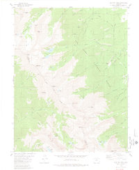
Editions of this 1980 Electric Peak Map
2 editions found
Other maps of this area

1950 · Valley View Hot Springs
USGS Topo · 1:24,000

1954 · Pueblo
USGS Topo · 1:250,000

1957 · Pueblo
USGS Topo · 1:250,000

1958 · Pueblo
USGS Topo · 1:250,000

1958 · Beckwith Mountain
USGS Topo · 1:24,000

1959 · Electric Peak
USGS Topo · 1:62,500

1959 · Howard
USGS Topo · 1:62,500
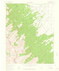
1959 · Horn Peak
USGS Topo · 1:24,000

1959 · Cotopaxi
USGS Topo · 1:62,500

1962 · Pueblo
USGS Topo · 1:250,000