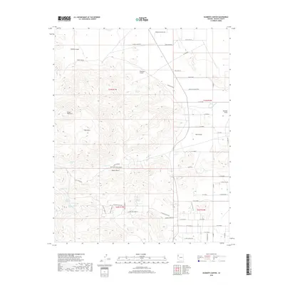
2018 Map of Elements Canyon
USGS Topo · Published 2018About this map
The Cerbat Mountains define the western reaches of this Mohave County landscape, dropping sharply into the Cedar Basin and the vast Mojave Desert expanse. Water sources are critical identifiers in this arid environment, with named points like Elements Spring, Vock Spring, and Brushy Spring marking vital breaks in the high desert terrain. These springs, alongside the Cherum Tank and Cochenour Spring, suggest a long history of cattle ranching and land use where every reliable water source was mapped and named.
Find a feature on this map
59 named features on this map. Tap any name to fly to it.
Don’t see what you’re looking for? This feature index may not catch every label — zoom into the map to look around manually.
Map Details
Editions of this 2018 Elements Canyon Map
This is the sole edition of this map. No revisions or reprints were ever made.
Other maps of this area

1886 · Diamond Creek
USGS Topo · 1:250,000

1886 · Camp Mohave
USGS Topo · 1:250,000

1892 · Diamond Creek
USGS Topo · 1:250,000

1892 · Camp Mohave
USGS Topo · 1:250,000

1939 · Chloride
USGS Topo · 1:48,000

1942 · Camp Mohave
USGS Topo · 1:250,000

1944 · Chloride
USGS Topo · 1:62,500

1947 · Kingman
USGS Topo · 1:250,000

1948 · Kingman
USGS Topo · 1:250,000

1948 · Williams
USGS Topo · 1:250,000