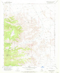
1968 Map of Elements Canyon
USGS Topo · Published 1971About this map
The Cerbat Mountains dominate this 1960s survey, revealing a landscape defined by ranching and vital water sources in the high desert of Mohave County. In an environment where water dictates survival, the map records numerous critical points such as Elements Spring, Cohenour Spring, and the paired Lower Cherum Spring and Upper Cherum Spring. Evidence of human activity is scattered throughout the canyons and basins, notably at Coanra Ranch and a remote Corral in the eastern flats. Transport through this territory is facilitated by the Stockton Hill Road and a network of named trails. The transition from the high peaks down through Vock Wash into the broad Hualapai Valley illustrates the drainage patterns essential for local cattle operations. Several locations marked simply as Prospect suggest the region's history of mineral exploration during this era.
Find a feature on this map
27 named features on this map. Tap any name to fly to it.
Don’t see what you’re looking for? This feature index may not catch every label — zoom into the map to look around manually.
Map Details
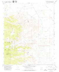
Editions of this 1968 Elements Canyon Map
2 editions found
Other maps of this area

1886 · Diamond Creek
USGS Topo · 1:250,000

1886 · Camp Mohave
USGS Topo · 1:250,000

1892 · Diamond Creek
USGS Topo · 1:250,000

1892 · Camp Mohave
USGS Topo · 1:250,000

1939 · Chloride
USGS Topo · 1:48,000

1942 · Camp Mohave
USGS Topo · 1:250,000

1944 · Chloride
USGS Topo · 1:62,500

1947 · Kingman
USGS Topo · 1:250,000

1948 · Kingman
USGS Topo · 1:250,000

1948 · Williams
USGS Topo · 1:250,000