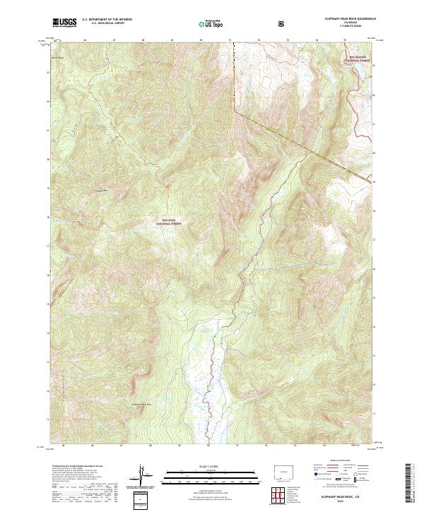
2022 Map of Elephant Head Rock
USGS Topo · Published 2022About this map
Elephant Head Rock stands as a prominent landmark in this high-altitude landscape where the San Juan National Forest meets the Rio Grande National Forest. The map detail follows the Navajo River and its tributaries, including the E Fork Navajo River, as they carve through the Chalk Mountains and Blanco Basin. This area is characterized by a high concentration of alpine water bodies, including Opal Lake, Three Lakes, and Fall View Lake, many of which are accessible only via established routes like the Fish Creek Trl or the Fish Lake Trl.
Find a feature on this map
29 named features on this map. Tap any name to fly to it.
Don’t see what you’re looking for? This feature index may not catch every label — zoom into the map to look around manually.
Map Details
Editions of this 2022 Elephant Head Rock Map
This is the sole edition of this map. No revisions or reprints were ever made.
Other maps of this area

1913 · Summitville
USGS Topo · 1:125,000

1915 · Summitville
USGS Topo · 1:125,000

1945 · Durango
USGS Topo · 1:250,000

1953 · Durango
USGS Topo · 1:250,000

1954 · Durango
USGS Topo · 1:250,000

1957 · Chromo
USGS Topo · 1:62,500

1957 · Wolf Creek Pass
USGS Topo · 1:62,500

1957 · Chama Peak
USGS Topo · 1:62,500

1961 · Durango
USGS Topo · 1:250,000

1963 · Durango
USGS Topo · 1:250,000