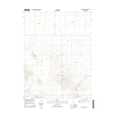
2014 Map of Elephant Knoll
USGS Topo · Published 2014About this map
Elephant Knoll stands as a prominent landmark in this high desert landscape of western Tooele County, where water management is central to the land's utility. The drainage of Deep Cr feeds into the Deep Creek Reservoir, while smaller catchments like JB Reservoir and Oswald Reservoir are distributed across the northern and southern basins. This network of reservoirs suggests a landscape utilized for livestock and ranching, anchored by the Last Chance Ranch in the northeast.
Find a feature on this map
25 named features on this map. Tap any name to fly to it.
Don’t see what you’re looking for? This feature index may not catch every label — zoom into the map to look around manually.
Map Details
Editions of this 2014 Elephant Knoll Map
This is the sole edition of this map. No revisions or reprints were ever made.
Other maps of this area

1925 · Gold Hill
USGS Topo · 1:62,500

1928 · Gold Hill
USGS Topo · 1:62,500

1953 · Tooele
USGS Topo · 1:250,000

1955 · Tooele
USGS Topo · 1:250,000

1955 · Elko
USGS Topo · 1:250,000

1958 · Elko
USGS Topo · 1:250,000

1962 · Elko
USGS Topo · 1:250,000

1965 · Elko
USGS Topo · 1:250,000

1972 · Ferguson Flat
USGS Topo · 1:24,000

1972 · Utah Peak
USGS Topo · 1:24,000