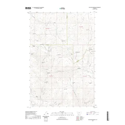
2020 Map of Elevation Mountain
USGS Topo · Published 2020About this map
Garnet stands as a primary point of interest in this high-altitude landscape where the borders of Missoula, Powell, and Granite Counties meet. The terrain is defined by a dense network of gulches and ridges that speak to the area's prospecting history, with labels like First Chance Gulch and Secret Gulch hinting at the mining efforts that once shaped these mountains. Small settlements including Beartown, Springtown, and Reynolds City are scattered across the slopes, connected by winding routes such as the Garnet Range Rd and Packer Gulch Rd.
Find a feature on this map
58 named features on this map. Tap any name to fly to it.
Don’t see what you’re looking for? This feature index may not catch every label — zoom into the map to look around manually.
Map Details
Editions of this 2020 Elevation Mountain Map
This is the sole edition of this map. No revisions or reprints were ever made.
Other maps of this area

1919 · Drummond
USGS Topo · 1:125,000

1921 · Drummond
USGS Topo · 1:125,000

1947 · Butte
USGS Topo · 1:250,000

1958 · Butte
USGS Topo · 1:250,000

1958 · Drummond
USGS Topo · 1:62,500

1959 · Bearmouth
USGS Topo · 1:62,500

1960 · Butte
USGS Topo · 1:250,000

1962 · Butte
USGS Topo · 1:250,000

1965 · Union Peak
USGS Topo · 1:24,000

1965 · Wild Horse Parks
USGS Topo · 1:24,000