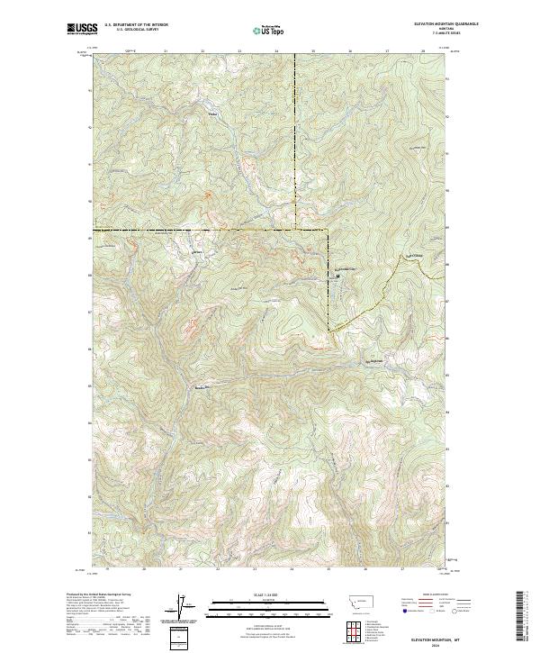
2024 Map of Elevation Mountain
USGS Topo · Published 2024About this map
Garnet and several other mountain settlements dot this corner of the Garnet Range at the meeting point of Missoula, Powell, and Granite Counties. The landscape is defined by a dense network of gulches and ridges that once supported a thriving mining economy, evidenced by names like Anaconda Hill, First Chance Gulch, and the Dandy Mine Rd. Narrow mountain roads, such as Garnet Range Rd and Dublin Gulch Rd, connect the clustered communities of Beartown, Reynolds City, and Yreka. These settlements are situated along drainages like Elk Creek and Deep Creek, where the local terrain dictated the layout of streets like Main St in Garnet. Genealogical interest is anchored by the Reynolds City Cem, while landmarks such as Elevation Mtn and Top O'Deep provide the high-altitude framework for this historic district.
Find a feature on this map
65 named features on this map. Tap any name to fly to it.
Don’t see what you’re looking for? This feature index may not catch every label — zoom into the map to look around manually.
Map Details
Editions of this 2024 Elevation Mountain Map
This is the sole edition of this map. No revisions or reprints were ever made.
Other maps of this area

1919 · Drummond
USGS Topo · 1:125,000

1921 · Drummond
USGS Topo · 1:125,000

1947 · Butte
USGS Topo · 1:250,000

1958 · Butte
USGS Topo · 1:250,000

1958 · Drummond
USGS Topo · 1:62,500

1959 · Bearmouth
USGS Topo · 1:62,500

1960 · Butte
USGS Topo · 1:250,000

1962 · Butte
USGS Topo · 1:250,000

1965 · Union Peak
USGS Topo · 1:24,000

1965 · Wild Horse Parks
USGS Topo · 1:24,000