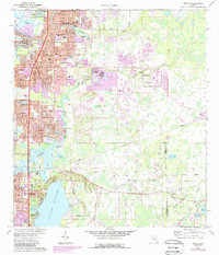
1974 Map of Elfers
USGS Topo · Published 1988About this map
New Port Richey and Tarpon Springs anchor this coastal Florida landscape, which shows the intense residential development of the mid-1970s and 1980s. The inland area transitions from the suburban grids of Holiday and Forest Hills to the more open terrain surrounding Seven Springs. This period captures the region's rapid growth, with many housing tracts and mobile home communities appearing as purple revisions over the original survey.
Find a feature on this map
69 named features on this map. Tap any name to fly to it.
Don’t see what you’re looking for? This feature index may not catch every label — zoom into the map to look around manually.
Map Details
Editions of this 1974 Elfers Map
2 editions found
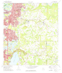
Other maps of this area

1943 · Dunedin
USGS Topo · 1:31,680

1943 · Tarpon Springs
USGS Topo · 1:31,680

1943 · Odessa
USGS Topo · 1:24,000

1943 · Elfers
USGS Topo · 1:24,000

1943 · Oldsmar
USGS Topo · 1:24,000

1944 · Elfers
USGS Topo · 1:31,680

1944 · Oldsmar
USGS Topo · 1:31,680

1944 · Odessa
USGS Topo · 1:31,680
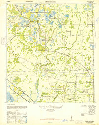
1947 · Citrus Park
USGS Topo · 1:24,000

1948 · Elfers
USGS Topo · 1:25,000