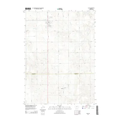
2014 Map of Elgin
USGS Topo · Published 2014About this map
Elgin serves as the primary hub of this north-central Nebraska landscape, where the agricultural grid is bisected by the north-south corridor of Highway 14. To the north, Koinzan Airport sits just outside the town limits, while the smaller community of Raeville anchors the southern portion of the sheet near the Antelope and Boone County line. This 2014 survey illustrates the intersection of rural infrastructure and the natural drainage patterns of the Elkhorn River basin. The terrain is defined by a series of seasonal and perennial waterways including Blacksnake Creek in the north and Cedar Creek and Rae Creek further south. These creeks wind through the township sections, influencing the placement of the extensive road network that includes named local routes like 837th Road and 522nd Avenue.
Find a feature on this map
43 named features on this map. Tap any name to fly to it.
Don’t see what you’re looking for? This feature index may not catch every label — zoom into the map to look around manually.
Map Details
Editions of this 2014 Elgin Map
This is the sole edition of this map. No revisions or reprints were ever made.
Other maps of this area

1955 · Broken Bow
USGS Topo · 1:250,000

1955 · Sioux City
USGS Topo · 1:250,000

1955 · Fremont
USGS Topo · 1:250,000

1955 · O'Neill
USGS Topo · 1:250,000

1956 · Broken Bow
USGS Topo · 1:250,000

1957 · Fremont
USGS Topo · 1:250,000

1958 · Sioux City
USGS Topo · 1:250,000

1958 · Fremont
USGS Topo · 1:250,000

1959 · O'Neill
USGS Topo · 1:250,000

1959 · Sioux City
USGS Topo · 1:250,000