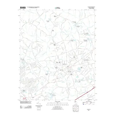
2011 Map of Elgin
USGS Topo · Published 2011About this map
Elgin serves as the focal point of this South Carolina landscape, surrounded by a dense network of residential developments and rural enclaves. The map illustrates a period of significant suburban character, where neighborhoods like Pinewood Heights, White Hills, and Highland Farms are woven into the existing drainage basins of Twentyfive Mile Creek and Rice Creek. A notable historical touchpoint is found at Bethel Campground, while the southern edge of the sheet reaches toward Pontiac.
Find a feature on this map
207 named features on this map. Tap any name to fly to it.
Don’t see what you’re looking for? This feature index may not catch every label — zoom into the map to look around manually.
Map Details
Editions of this 2011 Elgin Map
This is the sole edition of this map. No revisions or reprints were ever made.
Other maps of this area

1935 · Camden
USGS Topo · 1:48,000

1935 · Killian
USGS Topo · 1:48,000

1937 · Killian
USGS Topo · 1:62,500

1938 · Camden
USGS Topo · 1:62,500

1938 · Hagood
USGS Topo · 1:62,500

1941 · Spartanburg
USGS Topo · 1:250,000

1942 · Camden
USGS Topo · 1:125,000

1953 · Messers Pond
USGS Topo · 1:24,000

1953 · Blythewood
USGS Topo · 1:24,000
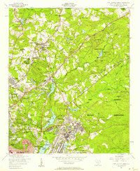
1953 · Fort Jackson North
USGS Topo · 1:24,000