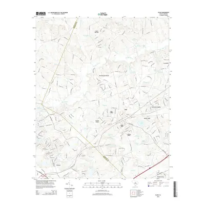
2014 Map of Elgin
USGS Topo · Published 2014About this map
The Richland and Kershaw County border serves as a central axis for this detailed 2014 survey, highlighting the suburban and rural developments northeast of Columbia. The town of Elgin is the primary hub, surrounded by residential clusters like White Hills, Pinewood Heights, and Blaney Hills. This area, once known as Blaney before its renaming, shows a landscape defined by its many drainages and small reservoirs, including Lotts Mill Pond, R W Cokers Pond, and Tucker Lake.
Find a feature on this map
222 named features on this map. Tap any name to fly to it.
Don’t see what you’re looking for? This feature index may not catch every label — zoom into the map to look around manually.
Map Details
Editions of this 2014 Elgin Map
This is the sole edition of this map. No revisions or reprints were ever made.
Other maps of this area

1935 · Camden
USGS Topo · 1:48,000

1935 · Killian
USGS Topo · 1:48,000

1937 · Killian
USGS Topo · 1:62,500

1938 · Camden
USGS Topo · 1:62,500

1938 · Hagood
USGS Topo · 1:62,500

1941 · Spartanburg
USGS Topo · 1:250,000

1942 · Camden
USGS Topo · 1:125,000

1953 · Messers Pond
USGS Topo · 1:24,000

1953 · Blythewood
USGS Topo · 1:24,000
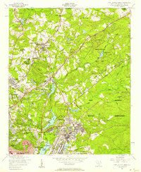
1953 · Fort Jackson North
USGS Topo · 1:24,000