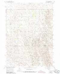
1963 Map of Elgin NW
USGS Topo · Published 1986About this map
The rolling hills of north-central Nebraska define this landscape at the border of Antelope Co and Boone Co. Published as part of a Department of the Interior program for the development of the Missouri River Basin, the topography is marked by the meandering path of Blacksnake Creek through the eastern section of the sheet. This rural area reflects a traditional Great Plains settlement pattern of isolated community landmarks spaced across wide agricultural sections.
Find a feature on this map
4 named features on this map. Tap any name to fly to it.
Don’t see what you’re looking for? This feature index may not catch every label — zoom into the map to look around manually.
Map Details
Editions of this 1963 Elgin NW Map
3 editions found

Other maps of this area

1955 · Broken Bow
USGS Topo · 1:250,000

1955 · O'Neill
USGS Topo · 1:250,000

1956 · Broken Bow
USGS Topo · 1:250,000

1959 · O'Neill
USGS Topo · 1:250,000

1960 · Spalding 2 NE
USGS Topo · 1:24,000

1960 · Spalding 2 SE
USGS Topo · 1:24,000

1963 · Petersburg
USGS Topo · 1:24,000

1963 · Neligh SE
USGS Topo · 1:24,000

1963 · Deloit
USGS Topo · 1:24,000

1963 · Neligh SW
USGS Topo · 1:24,000