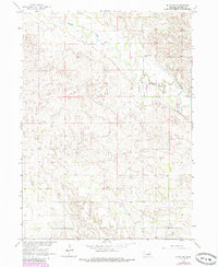
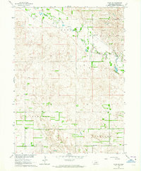
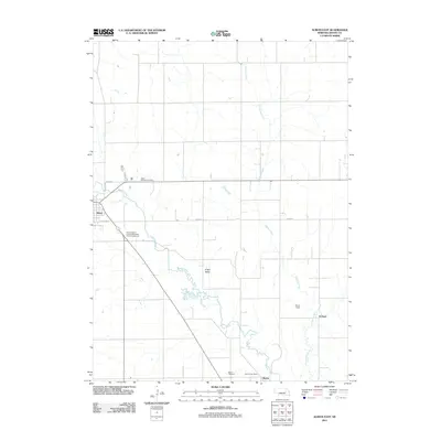
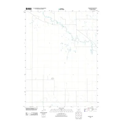
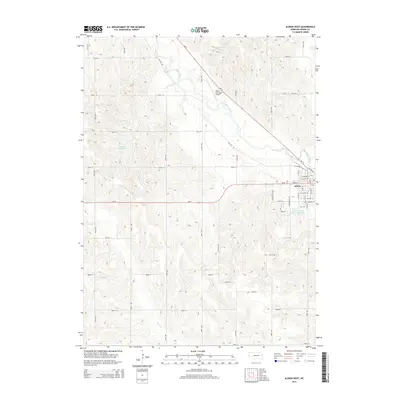
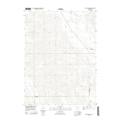
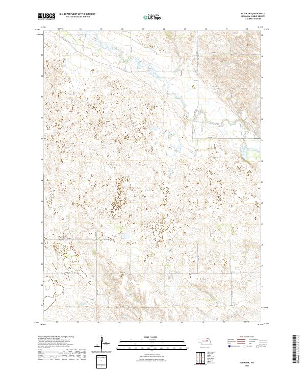
1963 Map of Elgin SW
USGS Topo · Published 1985About this map
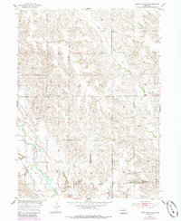
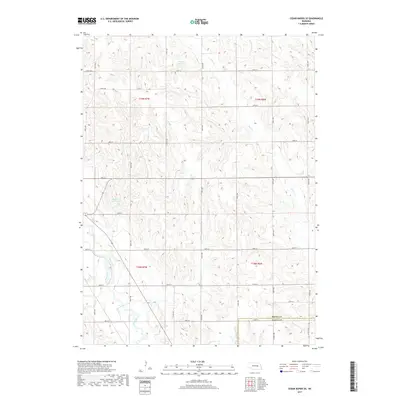
Beaver Creek meanders across this rural section of Boone County in Nebraska, defining a landscape largely shaped by its watercourse and the surrounding topography. The area's mid-century educational structure is represented by the Beaver Valley Sch, a landmark for local families and genealogists tracing rural school district histories. This 1960s-era survey, which incorporates aerial photogrammetric data from 1961 and 1981, illustrates the precise distribution of section lines and unimproved roads that connected agricultural tracts during this period. The terrain reflects the Missouri River Basin development program's interest in the region's hydrology and land use.
Find a feature on this map
3 named features on this map. Tap any name to fly to it.
Don’t see what you’re looking for? This feature index may not catch every label — zoom into the map to look around manually.
Map Details
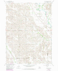
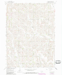
Editions of this 1963 Elgin SW Map
2 editions found
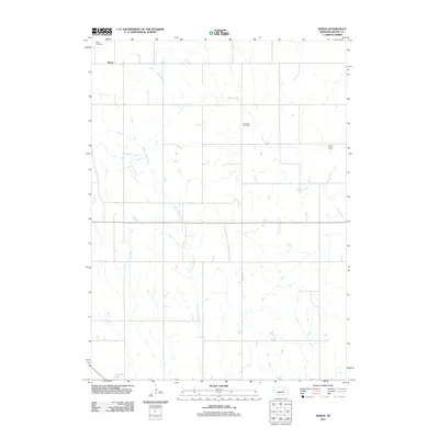
Historical Maps of Boone County Through Time
35 maps found
1954 Akron
Boone County, NE
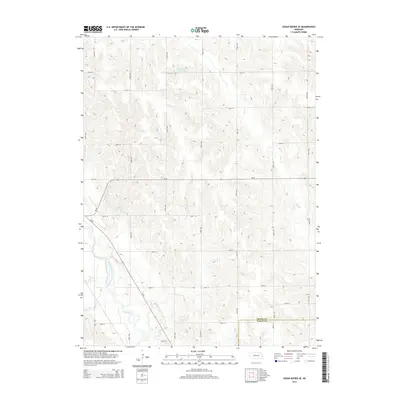
1954 Albion West
Boone County, NE
1954 Cedar Rapids SE
Boone County, NE

1958 Albion East
Boone County, NE
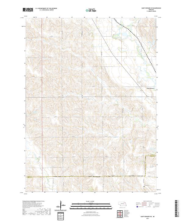
1958 St. Edward SW
Boone County, NE
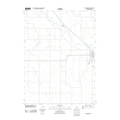
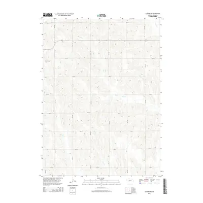
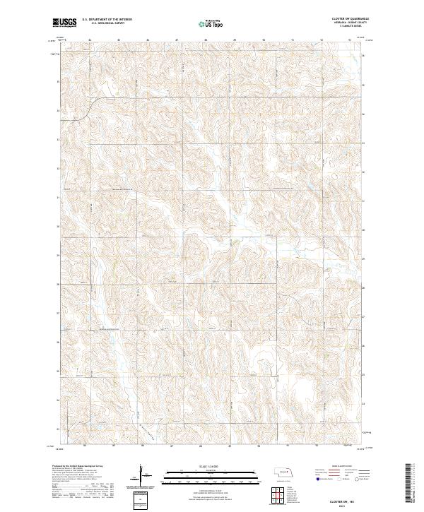
1963 Closter SW
Boone County, NE
1963 Elgin SW
Boone County, NE
2011 Akron
Boone County, NE
2011 Albion East
Boone County, NE
2011 Albion West
Boone County, NE
2011 Cedar Rapids SE
Boone County, NE
2011 Closter SW
Boone County, NE
2011 Elgin SW
Boone County, NE
2011 Saint Edward SW
Boone County, NE
2014 Akron
Boone County, NE
2014 Albion East
Boone County, NE
2014 Albion West
Boone County, NE
2014 Cedar Rapids SE
Boone County, NE
2014 Closter SW
Boone County, NE
2014 Elgin SW
Boone County, NE
2014 Saint Edward SW
Boone County, NE
2017 Akron
Boone County, NE
2017 Albion East
Boone County, NE
2017 Albion West
Boone County, NE
2017 Cedar Rapids SE
Boone County, NE
2017 Closter SW
Boone County, NE
2017 Elgin SW
Boone County, NE
2017 Saint Edward SW
Boone County, NE
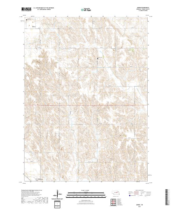
2021 Akron
Boone County, NE
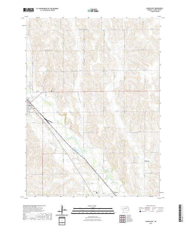
2021 Albion East
Boone County, NE
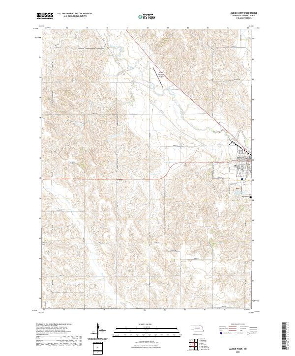
2021 Albion West
Boone County, NE
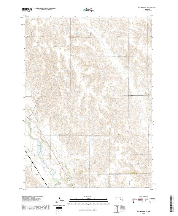
2021 Cedar Rapids SE
Boone County, NE
2021 Closter SW
Boone County, NE
2021 Elgin SW
Boone County, NE
2021 Saint Edward SW
Boone County, NE