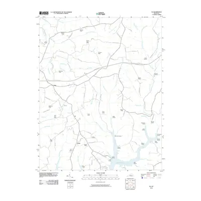
2010 Map of Eli
USGS Topo · Published 2010About this map
Lake Cumberland dominates the southern edge of this landscape, its waters reaching into complex inlets like Wolf Creek and Mill Hollow. The terrain is characterized by a series of prominent ridges, including Bethany Ridge and Mount Eden Ridge, which directed early settlement and transportation patterns. Small communities and family centers are scattered throughout, such as Eli, Whittle, and Salem, often situated near important local landmarks like the Eli Cemetery or the Old Friendship Cemetery.
Find a feature on this map
95 named features on this map. Tap any name to fly to it.
Don’t see what you’re looking for? This feature index may not catch every label — zoom into the map to look around manually.
Map Details
Editions of this 2010 Eli Map
This is the sole edition of this map. No revisions or reprints were ever made.
Other maps of this area

1911 · Monticello
USGS Topo · 1:62,500

1914 · Monticello
USGS Topo · 1:62,500

1953 · Phil
USGS Topo · 1:24,000

1953 · Mintonville
USGS Topo · 1:24,000

1953 · Mill Springs
USGS Topo · 1:24,000

1953 · Jamestown
USGS Topo · 1:24,000

1953 · Dunnville
USGS Topo · 1:24,000

1954 · Jabez
USGS Topo · 1:24,000

1954 · Russell Springs
USGS Topo · 1:24,000

1954 · Eli
USGS Topo · 1:24,000