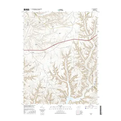
2016 Map of Eli
USGS Topo · Published 2016About this map
Lake Cumberland defines the southern edge of this landscape, where the rising waters of the reservoir reach into the deeply incised valleys of Wolf Creek and E Fork Alligator Cr. The terrain is characterized by a series of prominent high points and long, narrow fingers of land such as McQuarry Ridge, Floyd Ridge, and Ono Ridge. This settlement pattern follows the high ground, with small communities like Eli and Dorena clustered at road junctions above the steep hollows.
Find a feature on this map
131 named features on this map. Tap any name to fly to it.
Don’t see what you’re looking for? This feature index may not catch every label — zoom into the map to look around manually.
Map Details
Editions of this 2016 Eli Map
This is the sole edition of this map. No revisions or reprints were ever made.
Other maps of this area

1911 · Monticello
USGS Topo · 1:62,500

1914 · Monticello
USGS Topo · 1:62,500

1953 · Phil
USGS Topo · 1:24,000

1953 · Mintonville
USGS Topo · 1:24,000

1953 · Mill Springs
USGS Topo · 1:24,000

1953 · Jamestown
USGS Topo · 1:24,000

1953 · Dunnville
USGS Topo · 1:24,000

1954 · Jabez
USGS Topo · 1:24,000

1954 · Russell Springs
USGS Topo · 1:24,000

1954 · Eli
USGS Topo · 1:24,000