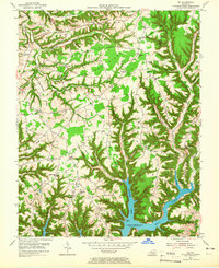
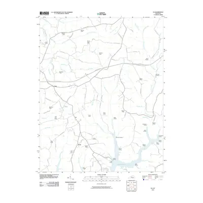
1954 Map of Eli
USGS Topo · Published 1965About this map
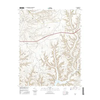
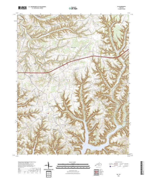
Lake Cumberland dominates the southern landscape of this mid-century survey, with its branching waters filling deep valleys like Alligator Creek and Wolf Creek. The terrain is defined by a series of prominent ridges, including Bethany Ridge and Roy Town Ridge, which dictated the early settlement patterns of the region. Small communities and gathering places are scattered throughout the hills, from the hub at Eli and Irvins Store to remote outposts like Dorena and Vinnie PO. Local life is well-documented through a dense network of country institutions, including Parks Ridge Ch, Sunshine Sch, and Cedar Springs Ch. For genealogists, the map is particularly valuable for its numerous family-named landmarks and cemeteries, such as Whittle Cem, Popplewell Cem, and Gaskins Cem, many of which sit on the high ground overlooking the inundated river valleys.
Find a feature on this map
105 named features on this map. Tap any name to fly to it.
Don’t see what you’re looking for? This feature index may not catch every label — zoom into the map to look around manually.
Map Details
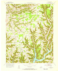
Editions of this 1954 Eli Map
2 editions found
Historical Maps of Salem Through Time
13 maps found
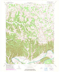
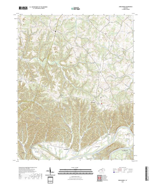
1953 Creelsboro
Russell County, KY
1954 Eli
Russell County, KY
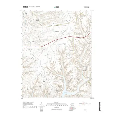
1973 Eli
Russell County, KY

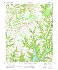
2010 Creelsboro
Russell County, KY
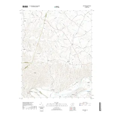
2010 Eli
Russell County, KY
2013 Creelsboro
Russell County, KY
2013 Eli
Russell County, KY
2016 Creelsboro
Russell County, KY
2016 Eli
Russell County, KY
2019 Creelsboro
Russell County, KY
2019 Eli
Russell County, KY
2022 Creelsboro
Russell County, KY
2022 Eli
Russell County, KY