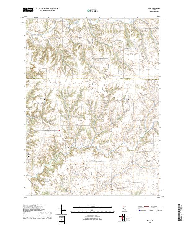
2024 Map of Eliza
USGS Topo · Published 2024About this map
Eliza and Petersville anchor this western Illinois landscape, where the rural topography is defined by a dense network of watercourses flowing toward the Mississippi River basin. The map reveals a deeply dissected terrain shaped by Copperas Creek in the north and the extensive reach of Eliza Creek through the central and southern sections. These waterways are joined by numerous tributaries, including Yankee Branch, Irvin Branch, and Winters Creek, creating a series of ridges and valleys that have historically dictated the placement of roads and homesteads. Local history is preserved in several small burial grounds such as Miller Cem, Leech Cem, and Eliza Creek Cem, which serve as quiet landmarks for genealogists and researchers tracing the early families of this border region between Rock Island and Mercer counties. The land use remains primarily agricultural, with a rectilinear grid of county roads like Co Hwy 26 and 180th Ave cutting across the natural drainage patterns.
Find a feature on this map
61 named features on this map. Tap any name to fly to it.
Don’t see what you’re looking for? This feature index may not catch every label — zoom into the map to look around manually.
Map Details
Editions of this 2024 Eliza Map
This is the sole edition of this map. No revisions or reprints were ever made.
Other maps of this area

1916 · Edgington
USGS Topo · 1:62,500

1935 · Keithsburg
USGS Topo · 1:48,000

1938 · Edgington
USGS Topo · 1:62,500

1941 · Keithsburg
USGS Topo · 1:62,500

1946 · Wapello
USGS Topo · 1:62,500

1948 · Muscatine
USGS Topo · 1:62,500

1949 · Wapello
USGS Topo · 1:62,500

1953 · Toolesboro
USGS Topo · 1:24,000

1953 · Blanchard Island
USGS Topo · 1:24,000

1953 · Buffalo Prairie
USGS Topo · 1:24,000